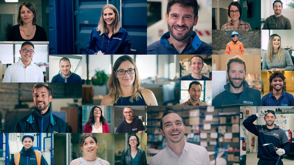
Géoréférencement de réseaux

Underground utility mapping

Our expert utility mapping service is the ideal solution for local authorities, cities, businesses and individual customers, enabling them to carry out their land development, urban planning and construction projects with precision and in compliance with regulations.

What is underground utility mapping?

Underground utility mapping is the process by which the geographical information about a buried network (water, electricity, gas, telecommunications) is associated with precise coordinates on the ground. This approach involves the use of cutting-edge technologies to establish the precise spatial location of detected networks and generate accurate maps of underground structures.

It is an essential method for ensuring the safety of construction work. Since the implementation of the “DT/DICT anti-damage” reform of July 1, 2012, all network operators are required to provide network maps.

Bringing networks into compliance

City councils must restructure all networks they own in compliance with the Declaration of Intent to Start Work (DICT) with Class A accuracy: 0.40 cm for rigid materials and 0.50 cm for flexible materials.

Géoréférencement de réseaux

When to perform utility mapping?

Our georeferencing team is involved at every stage of the project, from initial survey to final inspection, providing :

  • topographical surveys (Class A)
  • data integration into geographic information systems (GIS)
  • strategic advice on regulatory compliance.

Our underground utility mapping services

We offer a complete range of utility mapping services:

  • Class A topographical surveys: the guarantee of precise, certified geographic information, in compliance with NFS 70 003-3 standards and French regulations.
  • Underground network surveys: examination of all types of utility networks (dry and wet), with an emphasis on safety and risk prevention.
  • State-of-the-art topographical equipment: use of advanced technologies for high-precision surveys.
  • Recent CAD software: optimal interpretation and graphic representation of collected data.
Ortec's advantages
  • Expertise and commitment: in-depth knowledge of underground utility mapping.
  • Regulatory compliance: surveys that meet regulatory standards.
  • Quality of deliverables: network maps (digital DWG format + paper version), work reports and a database (points file) available to our clients.
  • Adaptability: solutions tailored to the specifics of each project and to the client’s needs.

Contact us

Whether you are a local authority, a city council, a company or a private client, our expertise in georeferencing buried networks is the key to ensuring that your project is carried out safely and accurately.

Please fill in the form below. We will contact you for a personalized consultation.

Read more about sanitation